Distances · from Italy
From Padua to Sappada
From Padua to Sappada you enter from Veneto. The A27 motorway ends at Pian di Vedoia, and that is where the slow part of the journey begins: about 80 min between Cadore and Comelico, with the Comelico tunnel and the last kilometres along the Piave.
Times measured on 6 October 2026, by car, without traffic
By car
about2 h 55 min
- By road
- 188 km
- On a clear road
- 2 h 28 min
- You enter by
- Cadore and Comelico, from Veneto
- Measured from
- Prato della Valle
The cautious estimate is the routing engine's time plus fifteen per cent, rounded up to five minutes.
The route
The road, stretch by stretch
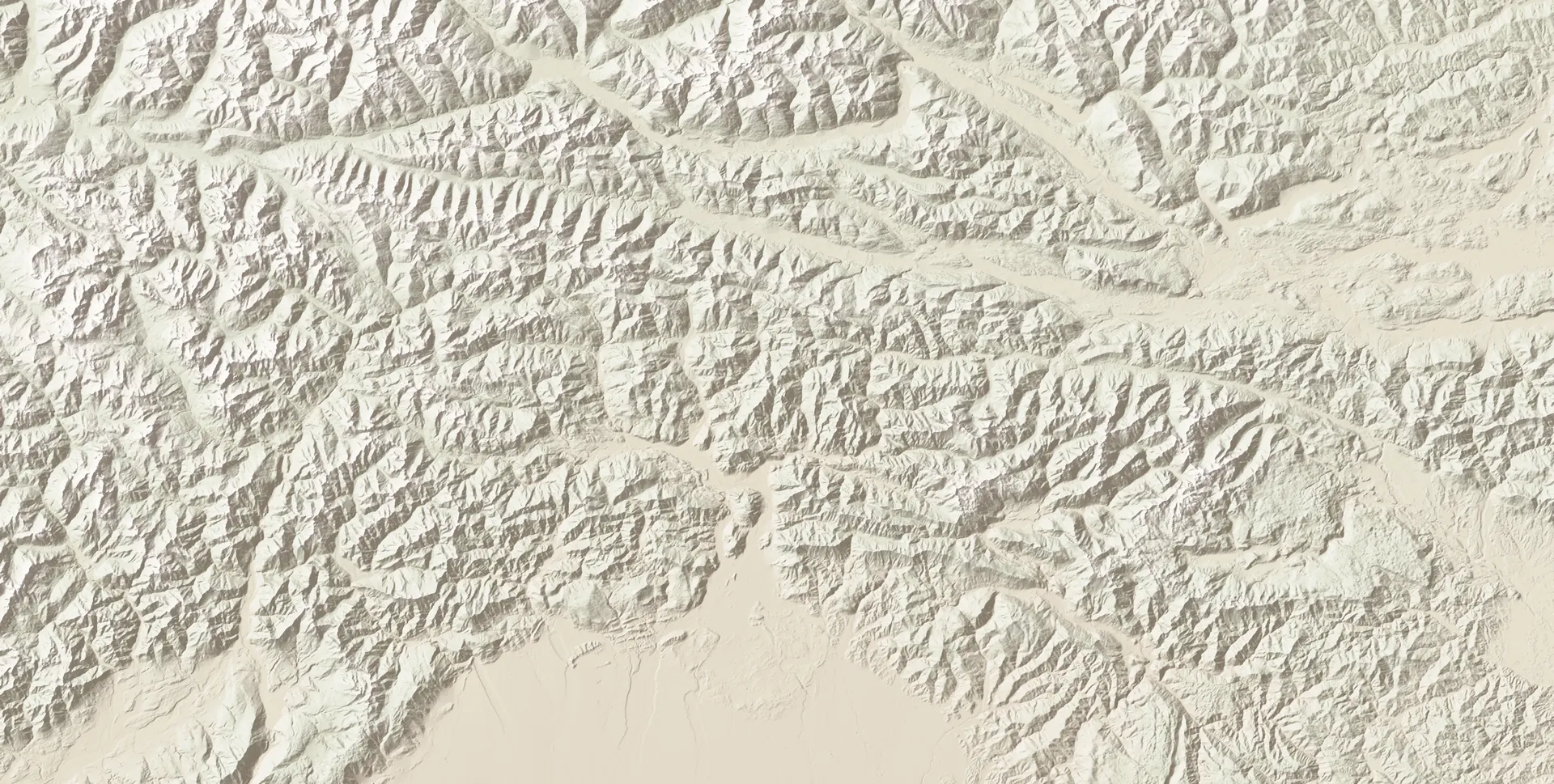
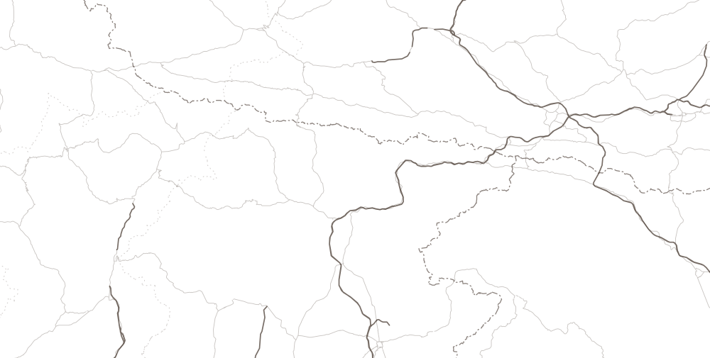
- Udine1 h 50 min
- Villach2 h 20 min
- Tarvisio
- Zoncolan
- Forni di Sopra
- Piancavallo
- Cortina
- Tolmezzo
- Belluno
- Lienz
- San Candido (Innichen)
- Calalzo di Cadore
- Klagenfurt
- Carnia exit · A2375 min
- End of the A27 · Pian di Vedoia80 min
- 1
- 3
- 5
- 6
- Sappada
Relief calculated from Copernicus DEM GLO-30 elevations (© DLR and Airbus, provided by the European Union and ESA). Roads and borders © OpenStreetMap contributors, ODbL. The times beside the cities are the cautious estimate to Sappada.
- DeparturePaduaabout 2 h 55 min left188 km
- As far as the mountainsA4 · A27A4 towards Venice, then A27 to the end of the motorway, at Pian di Vedoia.
- You leave the motorwayEnd of the A27 · Pian di Vedoiaabout 80 min left64 kmThe signs read “Cadore, Dolomiti, Cortina”.
- Longaroneabout 75 min left57 km
- Pieve di Cadoreabout 50 min left35 km
- Calalzo di Cadoreabout 45 min left33 km
- TunnelComelico tunnelClosed to all every night from 22:00 to 6:00, by order until 31 December 2026.
- Santo Stefano di Cadoreabout 20 min left12 km
- ArrivalSappadaThe town hall, in Borgata Bach: it is the arrival point of all the measurements.
From the end of the A27 to Sappada
From the end of the motorway you follow the SS51 “di Alemagna” through Longarone to Tai di Cadore. There you take the SS51 bis through Pieve di Cadore, Calalzo, Domegge and Lozzo, and then the SS52 “Carnica”, which leads through the Comelico tunnel to Santo Stefano di Cadore. The last kilometres are on the SR355, climbing along the Piave through the Acquatona gorge.
Where to stop
After Longarone the towns along the road are Pieve di Cadore, Calalzo, where the railway station is, and Santo Stefano di Cadore, where the road coming down from the Passo di Monte Croce di Comelico also arrives. Beside each name you will find how much is left to Sappada.
The times beside the villages are the cautious estimate from there to Sappada's town hall (OSRM measurements of 6 October 2026).
Before setting off
What to know about this road
Closed at nightComelico tunnel
The Comelico tunnel is closed to all vehicles every night, from 22:00 to 6:00, seven days a week: this is set by an order valid until 31 December 2026, and the night-time works are expected to last at least until 2028. If you leave in the evening you must pass before 22:00, or allow for the detour over the Passo di Sant'Antonio, from Auronzo, which is longer and slower. In peak periods, so far, it has stayed open at night too (at Easter and from 7 to 24 August 2026), but that is not a written rule. By day you pass on two narrow lanes, at reduced speed. From 15 November to 15 April you need winter tyres, or snow chains on board.
Read on 7 October 2026The state of every road and every pass
Without a car
As long as the Calalzo railway is closed, that is until 12 December 2026, by public transport from Padua it takes from four and a half hours upwards, with two changes: a train to Belluno, a replacement bus to Calalzo, a scheduled bus to Sappada. The last useful connection of the day leaves around midday.
The same journey
From Padua to the other resorts
From Padua, among the six resorts compared, Sappada is fourth by travel time. The closest is Piancavallo.
| Resort | Cautious estimate | On a clear road | By road |
|---|---|---|---|
| Piancavallo | 2 h 10 min | 1 h 52 min | 134 km |
| Cortina d'Ampezzo | 2 h 40 min | 2 h 17 min | 181 km |
| Forni di Sopra | 2 h 45 min | 2 h 20 min | 185 km |
| Sappada | 2 h 55 min | 2 h 28 min | 188 km |
| Tarvisio | 3 h | 2 h 36 min | 246 km |
| Ravascletto · Zoncolan | 3 h 05 min | 2 h 38 min | 225 km |
The full comparison between the resorts: prices, pistes, altitude
- Piancavallo: about 2 h 10 min by car, 134 km by road, 94 km as the crow flies
- Cortina d'Ampezzo: about 2 h 40 min by car, 181 km by road, 128 km as the crow flies
- Forni di Sopra: about 2 h 45 min by car, 185 km by road, 126 km as the crow flies
- Sappada: about 2 h 55 min by car, 188 km by road, 144 km as the crow flies
- Tarvisio: about 3 h by car, 246 km by road, 180 km as the crow flies
- Ravascletto · Zoncolan: about 3 h 05 min by car, 225 km by road, 149 km as the crow flies

Cities of departure
From another city
- From Trieste2 h 45 min164 km · Val Degano
- From Udine1 h 50 min94 km · Val Degano
- From Pordenone2 h 15 min135 km · Cadore and Comelico
- From Venice2 h 30 min154 km · Cadore and Comelico
- From Treviso2 h 20 min133 km · Cadore and Comelico
- From Munich5 h 20 min308 km · Monte Croce di Comelico
- From Vienna6 h 50 min465 km · Val Degano
- From Villach2 h 20 min135 km · Val Degano
- From Ljubljana3 h 30 min230 km · Val Degano
For sellers
Do you own a home in Sappada? Show it to us.
Gathering and vetting sellers; in open dialogue with developers
Would you like to be the first to hear when a home comes up in Sappada?