Distances · from Italy
From Trieste to Sappada
From Trieste to Sappada you enter from Friuli. You leave the A23 motorway at the Carnia exit, and that is where the slow part of the journey begins: about 75 min between the main road and Val Degano, up to the Cima Sappada pass.
From Trieste, among the resorts compared, Tarvisio and Zoncolan are closer than Sappada; Cortina is further away.
Times measured on 6 October 2026, by car, without traffic
By car
about2 h 45 min
- By road
- 164 km
- On a clear road
- 2 h 20 min
- You enter by
- Val Degano, from Friuli
- Measured from
- Piazza Unità d'Italia
The cautious estimate is the routing engine's time plus fifteen per cent, rounded up to five minutes.
The route
The road, stretch by stretch
- Udine1 h 50 min
- Villach2 h 20 min
- Tarvisio
- Zoncolan
- Forni di Sopra
- Piancavallo
- Cortina
- Tolmezzo
- Belluno
- Lienz
- San Candido (Innichen)
- Calalzo di Cadore
- Klagenfurt
- Carnia exit · A2375 min
- End of the A27 · Pian di Vedoia80 min
- 1
- 3
- 5
- 6
- Sappada
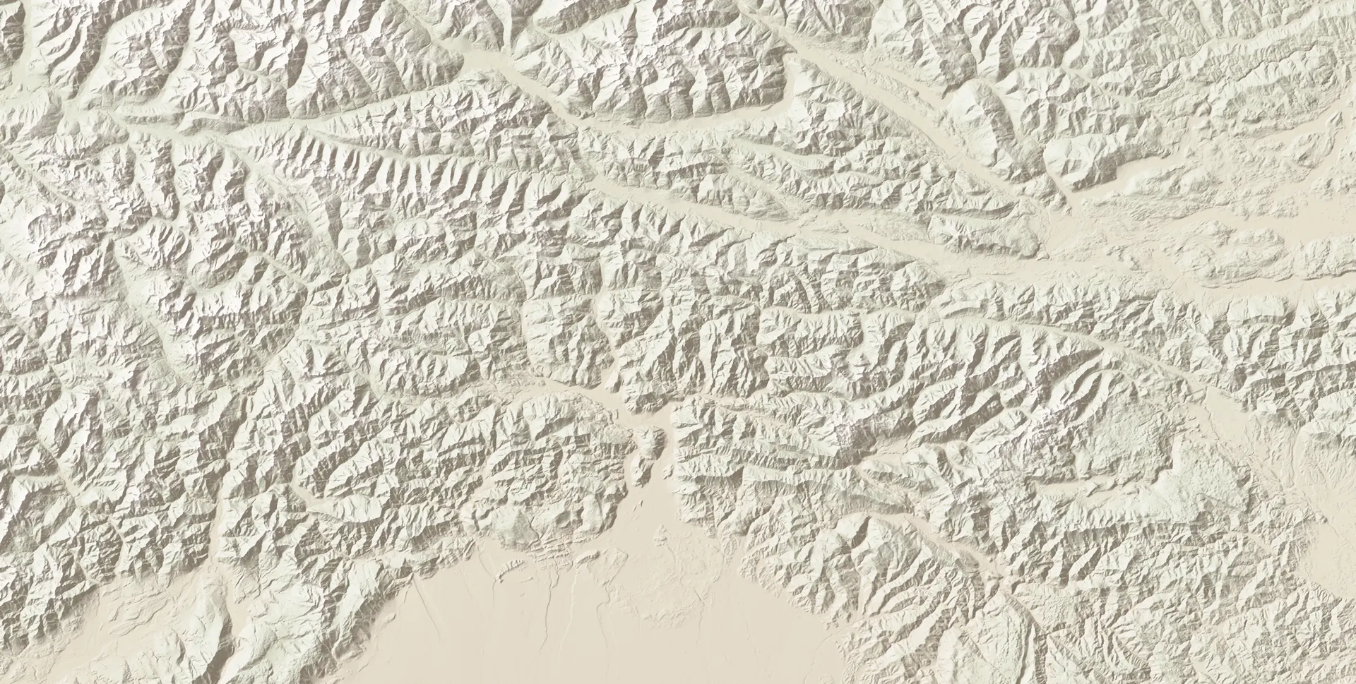
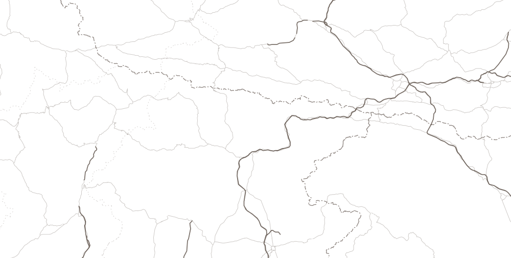
Relief calculated from Copernicus DEM GLO-30 elevations (© DLR and Airbus, provided by the European Union and ESA). Roads and borders © OpenStreetMap contributors, ODbL. The times beside the cities are the cautious estimate to Sappada.
- DepartureTriesteabout 2 h 45 min left164 km
- As far as the mountainsA4 · A23A4 towards Venice, then A23 towards Tarvisio as far as the Carnia exit. Those leaving from Monfalcone or Gorizia follow the same route from the A4 onwards.
- You leave the motorwayCarnia exit · A23about 75 min left53 kmThe signs read “Carnia, Tolmezzo”.
- Tolmezzoabout 70 min left46 km
- Villa Santinaabout 55 min left38 km
- Ovaroabout 40 min left28 km
- Comegliansabout 35 min left24 km
- Forni Avoltriabout 20 min left11 km
- PassCima SappadaThe highest point of the road from Friuli. No scheduled winter closure; in heavy snow it has been closed (December 2020, January 2021).
- ArrivalSappadaThe town hall, in Borgata Bach: it is the arrival point of all the measurements.
From the Carnia exit to Sappada
From the exit you follow the SS52 “Carnica” to Villa Santina, passing beside Tolmezzo. There the SR355 “della Val Degano” begins, climbing along the river through Ovaro, Comeglians, Rigolato and Forni Avoltri. After Piani di Luzza the road rises to Cima Sappada with four hairpin bends and two short rock tunnels, and from there it descends into the village.
Where to stop
The last town before the valley is Tolmezzo. From Villa Santina upwards there is one road only, and the villages come one after the other: Ovaro, Comeglians, where the road for Ravascletto and Zoncolan branches off, then Rigolato and Forni Avoltri. Beside each name you will find how much is left to Sappada.
The times beside the villages are the cautious estimate from there to Sappada's town hall (OSRM measurements of 6 October 2026).
Before setting off
What to know about this road
OpenVal Degano
Between Comeglians and Cima Sappada, Val Degano is one road only, with no parallel route. If it is interrupted, the detour runs through Forni di Sopra, the Passo della Mauria and Comelico, and it is long. It has happened twice because of landslips, in 2022, and in two winters because of snow and avalanches, in December 2020 and January 2021; today the road is open. From 15 November to 15 April you need winter tyres, or snow chains on board.
Read on 7 October 2026The state of every road and every pass
Without a car
From Trieste Centrale there are direct trains as far as Carnia; from there you continue by bus to Tolmezzo and then on line 120 to Sappada. Direct trains for Carnia also leave from the Trieste airport station.
The same journey
From Trieste to the other resorts
From Trieste, among the six resorts compared, Sappada is fifth by travel time. The closest is Tarvisio.
| Resort | Cautious estimate | On a clear road | By road |
|---|---|---|---|
| Tarvisio | 2 h 10 min | 1 h 52 min | 165 km |
| Ravascletto · Zoncolan | 2 h 10 min | 1 h 53 min | 143 km |
| Piancavallo | 2 h 30 min | 2 h 06 min | 155 km |
| Forni di Sopra | 2 h 30 min | 2 h 08 min | 160 km |
| Sappada | 2 h 45 min | 2 h 20 min | 164 km |
| Cortina d'Ampezzo | 3 h 25 min | 2 h 56 min | 237 km |
The full comparison between the resorts: prices, pistes, altitude
- Tarvisio: about 2 h 10 min by car, 165 km by road, 96 km as the crow flies
- Ravascletto · Zoncolan: about 2 h 10 min by car, 143 km by road, 117 km as the crow flies
- Piancavallo: about 2 h 30 min by car, 155 km by road, 109 km as the crow flies
- Forni di Sopra: about 2 h 30 min by car, 160 km by road, 125 km as the crow flies
- Sappada: about 2 h 45 min by car, 164 km by road, 132 km as the crow flies
- Cortina d'Ampezzo: about 3 h 25 min by car, 237 km by road, 160 km as the crow flies

Cities of departure
From another city
- From Udine1 h 50 min94 km · Val Degano
- From Pordenone2 h 15 min135 km · Cadore and Comelico
- From Venice2 h 30 min154 km · Cadore and Comelico
- From Treviso2 h 20 min133 km · Cadore and Comelico
- From Padua2 h 55 min188 km · Cadore and Comelico
- From Munich5 h 20 min308 km · Monte Croce di Comelico
- From Vienna6 h 50 min465 km · Val Degano
- From Villach2 h 20 min135 km · Val Degano
- From Ljubljana3 h 30 min230 km · Val Degano
For sellers
Do you own a home in Sappada? Show it to us.
Gathering and vetting sellers; in open dialogue with developers
Would you like to be the first to hear when a home comes up in Sappada?